345 Appin Road, Appin NSW 2560 IN PLANNING
This information is estimated by the OpenLot research team. Let us know here to provide up-to-date information about this development.
| Total new homes | 3,000 |
| Area size | 300.00 hectares |
| Growth Region | Sydney South West Growth Areas |
| City council | Wollondilly Shire Council |
| Developer | Ingham Property Group |
| Project marketer | Woodhill Property |
| Distance to | Wollongong CBD - 30 km north Sydney Airport - 45 km south-west Sydney CBD - 51 km south-west |
Land for Sale, House and Land Packages:
Popular Estates near 345 Appin Road, Appin


Updates for 345 Appin Road, Appin
Facebook updates:
Related news:
Appin is proposed to contain over 3100 residential allotments, a local shopping centre, a school, and park lands.
Missing articles? Send us a link here.
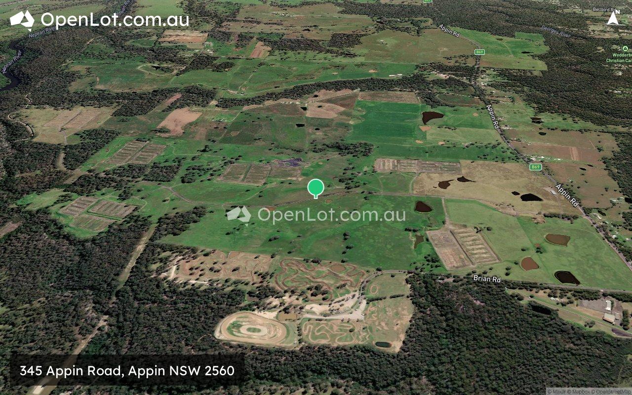
Location & Map for 345 Appin Road, Appin
Schools near 345 Appin Road, Appin
Here are 6 schools near 345 Appin Road, Appin:
K-6 Government Primary School
K-6 Government Primary School
K-6 Government Primary School
K-6 Government Primary School
7-12 Catholic Secondary School
K-6 Catholic Primary School
Reviews & Comments on 345 Appin Road, Appin
Estate Brochure, Masterplan, Engineering Plan, Plan of Subdivision (POS), Design Guidelines
FAQs about 345 Appin Road, Appin
View all estates from Ingham Property Group
View all estates marketed by Woodhill Property
- Appin Public School - 2.7km south
- Douglas Park Public School - 6.0km west
- St Helens Park Public School - 7.6km north
- Rosemeadow Public School - 8.0km north
- John Therry Catholic College - 8.2km north
- Our Lady Help of Christians Catholic Primary School - 8.3km north
Popular Estates near 345 Appin Road, Appin
Latest New Home Articles for You

19/Aug/2025 | OpenLot.com.au
🏡 Suburb Profile: Beveridge
19/Aug/2025 | OpenLot.com.au
test
19/Aug/2025 | OpenLot.com.au
tests

13/Jun/2025 | OpenLot.com.au
Display Homes at Playford Alive Estate: A Thriving Community at the Heart of Munno Para
Welcome to Playford Alive, a vibrant and dynamic masterplanned community ...

11/Jun/2025 | OpenLot.com.au
Display Homes at Ocean Hill Estate: A Thriving Community by the Coast
A short stroll from the white sands of Madora Beach and fringed by the co...

10/Jun/2025 | OpenLot.com.au
Display Homes at Bluestone Estate: An Established Community in the Mount Barker
Whether you’re a first home buyer, a growing family, or looking to downsi...

09/Jun/2025 | OpenLot.com.au
Queensland Leads, But NSW and VIC Fall Behind, in New Housing Buyer Demand Index
New data reveals that Australia’s new housing market remains resilient de...

06/Jun/2025 | OpenLot.com.au
Display Homes at Minters Fields Estate: A Scenic Hillside Community in Mount Barker
Nestled in the heart of Mount Barker, Minters Fields offers a truly remar...

03/Jun/2025 | OpenLot.com.au
🏡 Step Inside a Frenken Home at Smiths Lane
During a recent visit to the Smiths Lane display village, OpenLot.com.au ...